A weather satellite is only useful once it is in the right place, and getting there is a process rather than a single event. On 9 September, the European Space Agency reported that Meteosat Third Generation Imager 2, or MTG-I2, had reached its final geostationary orbit about 36,000 kilometres above Earth. The satellite launched on an Ariane 6 from French Guiana on 27 August. ESA handed operational responsibility to EUMETSAT on 8 September.
For anyone outside the field, the sequence can look like bureaucracy: launch, arrive, hand over. The reality is that each stage is a distinct engineering milestone, and none of them means the satellite is ready to be relied upon.
Why geostationary matters
A satellite in geostationary orbit circles the Earth once a day, matching the planet’s rotation, so it appears to hang over one spot. That is ideal for weather monitoring, because the same region can be imaged continuously rather than only during brief passes. The trade-off is distance: 36,000 kilometres is far, which places demands on optics and signal strength. Weather satellites accept that trade because continuous coverage is more valuable than proximity.
An expanding constellation
MTG-I2 joins MTG-I1 and MTG-S1 in Europe’s next-generation weather system. The programme replaces an older generation of Meteosat satellites and is designed to provide more frequent and more detailed observations. A constellation, rather than a single satellite, provides redundancy: if one spacecraft fails, others can cover the gap.
Reaching orbit is not the same as being operational
Once a satellite is in position, its instruments must be checked, its data products calibrated, and its performance compared with expectations. This commissioning phase can take months. For users of weather information, the milestone that matters is not the orbit insertion but the point at which the satellite’s data is used routinely by forecasters. Until then, it is a spacecraft in testing, however successful the launch.
Forecasting depends on long records. A new satellite must be calibrated so that its measurements are consistent with those from the satellites it replaces; otherwise, a change in instrument could be mistaken for a change in the weather. This is one of the least visible and most important parts of a weather-satellite programme: making sure the new data speaks the same language as the old.
What the new generation adds
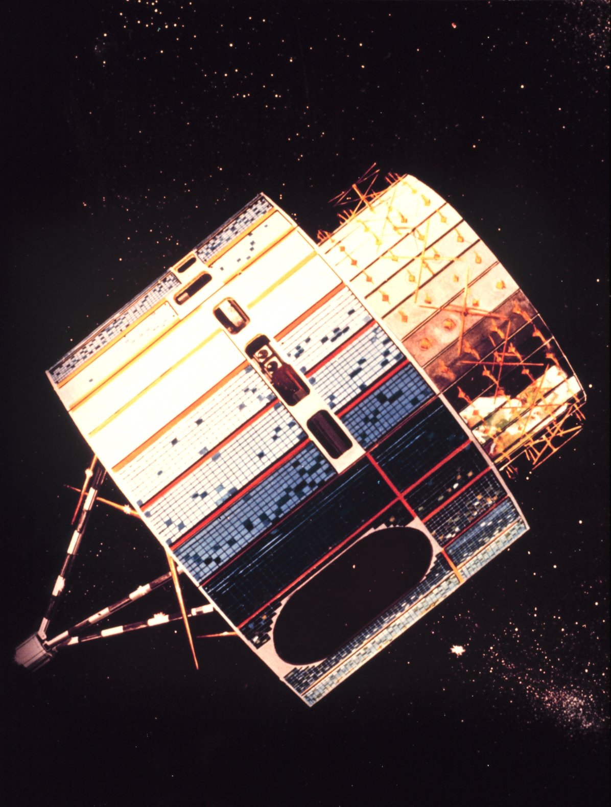
The MTG programme is intended to improve the frequency and resolution of observations, which supports better short-range forecasting and more detailed monitoring of severe weather. It also carries instruments for atmospheric sounding and lightning detection. Each addition expands what forecasters can see, and each requires its own validation before it can be trusted operationally.
Why this matters to ordinary users
Weather forecasts have improved substantially over recent decades, and satellite observations are a large part of the reason. Improvements are incremental and easy to overlook, because the public experiences them as slightly more reliable forecasts rather than as dramatic breakthroughs. A new satellite entering service is one of the quiet steps that makes those improvements possible.
The next meaningful development is the completion of commissioning and the routine use of MTG-I2 data. Until EUMETSAT declares the satellite operational, its contribution to forecasts remains prospective. The launch and orbit insertion are necessary conditions; they are not the finish line.
The history behind the constellation
Europe’s Meteosat programme dates back to the 1970s, making it one of the longest-running weather-satellite efforts. Each generation has improved resolution, frequency and instrument range, and each has had to maintain continuity with the last. That continuity is the programme’s real achievement: a forecast today draws on observations that trace back through decades of instruments, carefully inter-calibrated so that the record remains coherent.

How weather data reaches the public
Satellite observations do not become a forecast by themselves. They are ingested into numerical models, processed by national meteorological services, and translated into the forecasts people see. That chain involves supercomputers, human forecasters and quality control at every stage. The satellite is one link, essential and invisible. When a forecast proves accurate, the credit belongs to the whole system rather than to any single instrument.
Satellites observe the top of the atmosphere, not the surface directly, and they cannot measure everything. Ground-level temperature, rainfall at a specific street, and wind near the surface are inferred from satellite data combined with models and surface observations. This is why weather services maintain networks of ground stations and radars alongside satellite systems. The satellite is a powerful tool, and it works best as part of a mixed observing system rather than as a replacement for everything else.
The difference between a satellite and a forecast
It is worth restating, because the two are routinely conflated. A satellite observes; a forecast predicts. The satellite supplies data, the model processes it, and the forecaster interprets the output. Improvements in satellites raise the ceiling on forecast quality, and they do so indirectly, through better inputs. A new satellite in orbit is a step toward better forecasts, not a better forecast in itself.
This report draws on European Space Agency.
Image: No machine-readable author provided. Ysangkok assumed (based on copyright claims). · Public domain · via Wikimedia Commons.